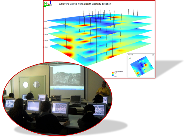
The GIS and Earth Observation group falls under the discipline of Geography and is best known for its work on analyzing geo-spatial data captured using imaging and non-imaging systems. Our mission is to develop and apply Earth observation and Geospatial technologies in inventorying and monitoring various environmental attributes in the light of land use and climate change.

The group conducts research in the fields of land cover/ land use change
detection, vegetation mapping, tree species identification and mapping,
biodiversity, detection and monitoring forest health condition, crops
monitoring, wetland monitoring and mapping, and modeling urban
environments. We are actively involved in collaborating with researchers
from other disciplines and industries in pursuit of multidisciplinary
research. We are also involved in education programmes contributing to
qualifications at undergraduate and postgraduate levels as well as
providing service courses to other university disciplines and industry.